Long Range
Flies over 1h / 100 km on one battery charge. Battery can be changed within minutes
Low Cost
Build entirely on easy to get and cheap hobby RC components, the drone can be build for less than 1000€
Easy to use
After a few hours of training, everybody can plan missions, start the plane, return it safely
Build for the sea
Waterproof, testet at high wind speeds, landing on the water, recovery by RHIBs
Camera / Image Recognition
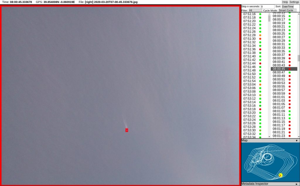
With two 8MP cameras you can get sharp pictures of people in distress from 550m above the sea. The pictures can be checked manually or automatically
The drone extends the search radius of the rescue vessel at the sea. Without intelligence from the air, the search radius on a ship, using binoculars to search the sea, is limited to a range of approx. 3 nautical miles (5 km) due to waves and the curvature of the earth.
Our drone, flying at 550 m above the sea, equipped with two 8 mega-pixel cameras and a computer, extends that range and can cover an area up to 160 square kilometres per mission.
To get more details on the technical specifications you can check the preliminary datasheet:
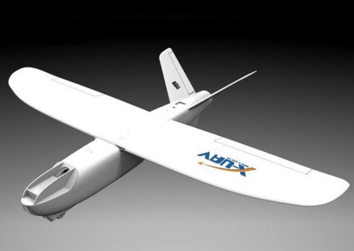
MiniTalon - the plane
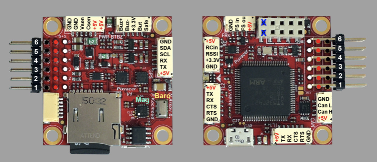
Pixracer
The Pixracer is already equipped with most of the needed sensors for our autonomous missions.
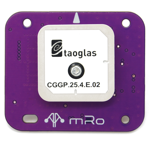
mRobotics GPS
The extra precision needed for the missions is provided by the special drone GPS module.
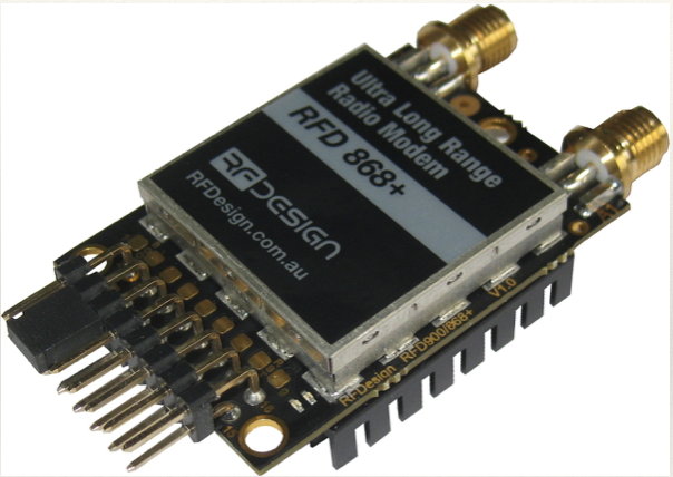
Telemetry for extended range
For the communication with the plane during the mission a telemetry link with extended range is needed: the Australian company rfDesign offers excellent modules for this.
http://store.rfdesign.com.au/rfd-900x-modem/
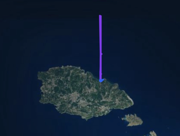
We could measure distances over 80km.
Over this link the drone can not only receive missions but als return the position of possible people in distress - including pictures.
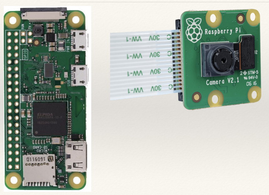
Camera and image processing
The pictures taken by the attached two 8 MP cameras are stored on the Raspberry for later manual or automatic evaluation.
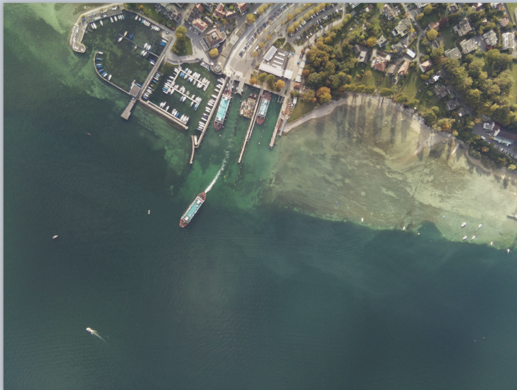
Analysis
The photos including automated image analysis can be further analysed by the operator using the groundstation.
